


A magnitude 5.1 earthquake struck early Saturday morning approximately 132 km (82 miles) from Khowy in Iran’s West Azerbaijan Province.
The tremor occurred at 8:52 a.m. local time (GMT+3) and originated at a shallow depth of about 6.3 km (3.9 miles), making it widely felt near the epicenter.
The European-Mediterranean Seismological Centre reported the quake near Showt in the same province just minutes after it occurred, also measuring it at magnitude 5.1.
Initial data indicated a depth of about 12 km, though experts noted that the exact magnitude, location, and depth could be revised as further analysis is conducted. Additional confirmation came from RaspberryShake’s citizen-seismograph network and Germany’s GFZ, both of which recorded the same magnitude.
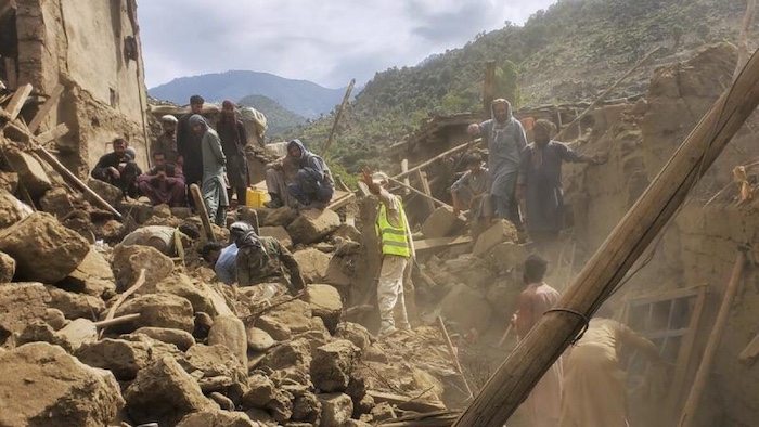
Preliminary seismic assessments suggested that the earthquake was noticeable to many residents close to the epicenter but was unlikely to have caused major destruction.
Minor incidents such as items falling from shelves or cracked windows were considered possible.
Residents in Ercis, a town with a population of about 91,900 located 35 km from the epicenter, likely experienced light shaking. Similar weak tremors may have been felt in nearby areas including Van, Diyadin, Adilcevaz, Patnos, Dogubayazit, and Showt, all situated within roughly 100 km of the epicenter.
The closest major urban center affected was Van in eastern Turkey, located about 42 km (26 miles) south of the epicenter, where light shaking was likely experienced by its more than 530,000 residents. Smaller communities nearer the epicenter may have felt stronger tremors. In contrast, the earthquake was not felt in Turkey’s capital, Ankara, situated about 921 km (572 miles) away.
Initial ground-shaking reports were received within two minutes of the event, even before official confirmations from monitoring agencies. So far, at least five reports have been submitted from Armenia and Turkey, with tremors felt up to approximately 170 km (106 miles) away, and in isolated cases up to 174 km (108 miles).
Most reports originated from Yerevan, the Armenian capital, along with accounts from Van and Ercis. These early observations provided insight into how widely the tremor was experienced across the region.
Seismologists measure the effects of earthquakes using the Modified Mercalli Intensity (MMI) scale, which ranges from I (not felt) to X (extreme shaking). The level of shaking experienced at the surface depends largely on the earthquake’s magnitude, depth, and proximity to the epicenter, with intensity typically decreasing over distance.


