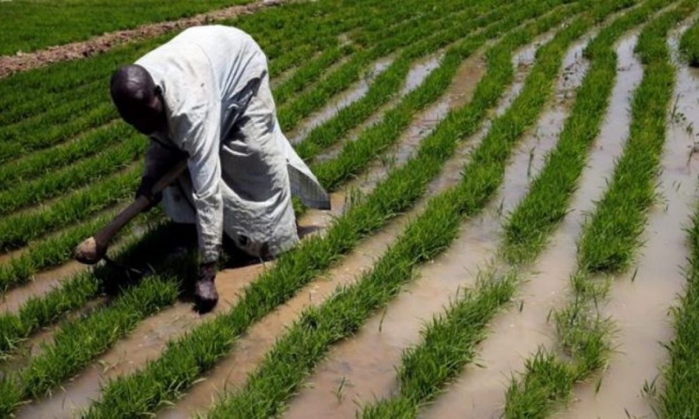
The Federal Government has commenced the deployment of an artificial intelligence-powered agricultural monitoring system in Jigawa State to improve crop production, farmland management and food security.
The initiative, known as the National Agro-Productivity System, uses satellite imagery and machine learning to monitor farms and provide up-to-date agricultural information.
According to The PUNCH, the Presidency announced the commencement of field operations on Monday, November 16, 2026, alongside the inauguration of the project’s National Steering Committee in Abuja.
FG deploys 25 agricultural agents
The government disclosed that 25 trained agricultural extension agents would operate across 59 communities in Jigawa State.
The pilot phase covers 11 local government areas and focuses primarily on rice, wheat and maize production.
Officials explained that the agents would collect information from farms to verify data generated by the satellite monitoring system.
The initiative is expected to improve decisions concerning agricultural production, land availability and resource management.
AI to track crops through satellites
The Executive Secretary of the Presidential Food Systems Coordinating Unit, Marion Moon, said the programme would address limitations associated with relying on agricultural data collected after the farming season.
“For too long, decisions about Nigerian agriculture have been made after the season, on figures that arrive too late to act on,” she said.
Moon explained that the new system would provide government institutions with timely information about farmland and crop conditions.
According to the project partners, satellite images will be obtained approximately every five days.
Artificial intelligence models will analyse the images to identify crop types, farmland boundaries and changes during the growing season.
Jigawa selected for pilot
The Director-General of the Jigawa State Agricultural Transformation Agency, Saifullahi Basirka, said the project would help the state understand farming activities more accurately.
He explained that improved information could strengthen agricultural planning and support investors interested in the sector.
The initiative is being implemented in collaboration with OCP Africa and Ground Truth Analysis.
The technical partners will assist with data verification, training and development of the monitoring platform.
Project targets wider expansion
The pilot phase will cover the 2026/2027 dry farming season, running from November 2026 to April 2027.
The government expects the project to deliver farmland maps, crop classifications and agricultural yield information during the implementation period.
Additional states have also been identified for future participation, including Borno, Plateau, Ekiti, Ebonyi and Cross River.
The Federal Government maintained that the system would improve agricultural planning, strengthen food security policies and support evidence-based decisions.
However, the pilot remains in its early implementation phase, and its expected benefits will depend on successful field deployment, accurate data collection and subsequent expansion.